Between the Andes and the sky, the communities on the Inca Trail confront glacier melt, unpredictable rains, and structural poverty—threats that endanger not only their livelihoods, but also the living memory of a civilization that learned to live in dialogue with nature.
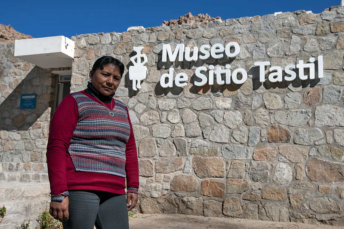
Every August 1 at dawn, Marcelina Zalazar’s father would climb the highest hill in Santa Rosa de Tastil (Salta), in northwest Argentina, to observe the stones. If their surfaces were damp when he turned them over, it meant that the Pachamama—Mother Earth—was signaling the arrival of a rainy year, good for agricultural production.
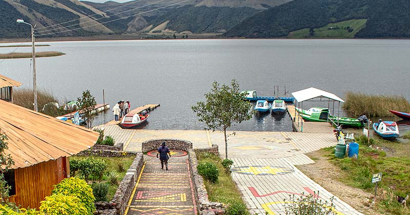
Roughly 930 miles to the north, on the Peruvian altiplano, rural communities still look to the sky as a vast observatory. If the Inti Raymi celebration dawns on June 24 under cloud cover and only a few drops fall, it is taken as a sign to prepare for a dry season.
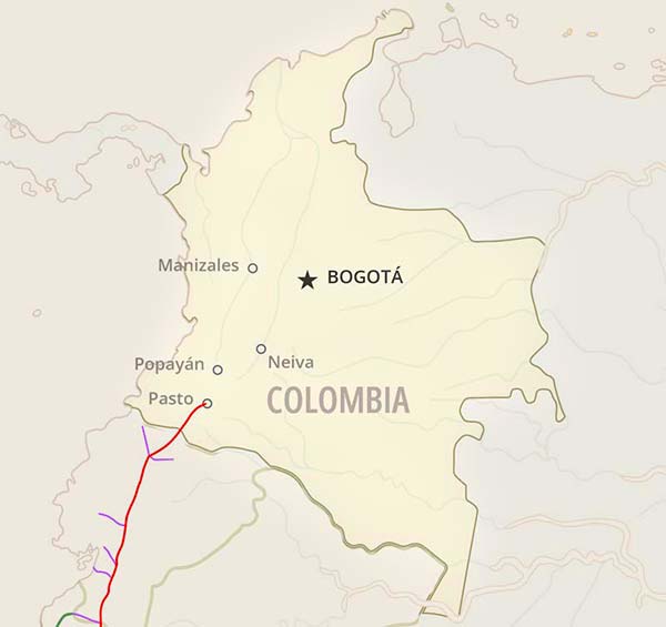
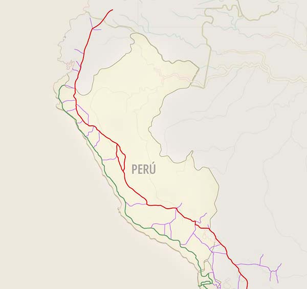
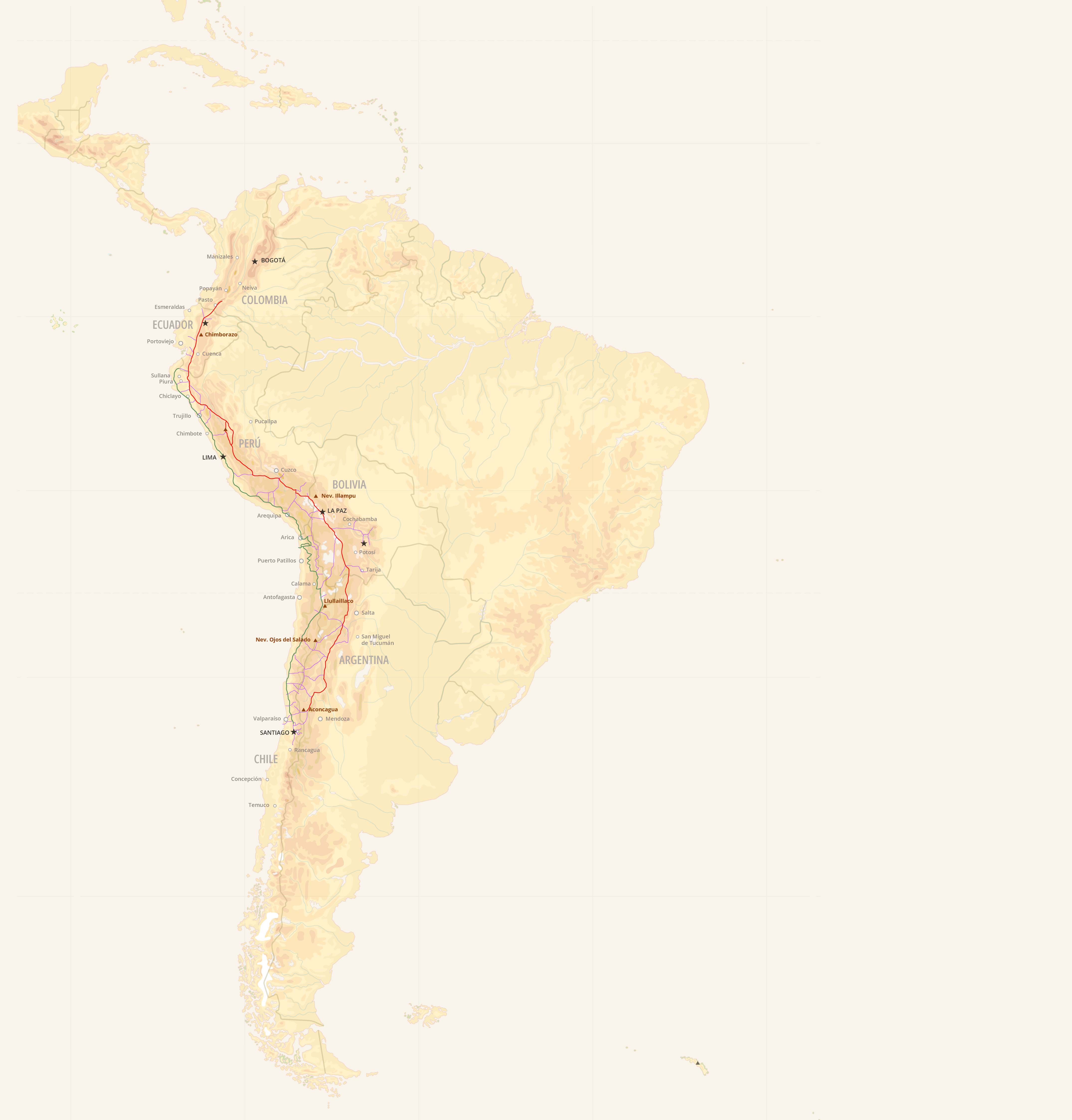
These ancestral practices are repeated along the Inca Trail, or Qhapaq Ñan as it is known in the Quechua language, a route connected to 319 rural communities. Across these Andean populations, spanning six countries (Colombia, Ecuador, Peru, Bolivia, Chile, and Argentina), inherited knowledge has allowed them to recalculate harvest cycles, shift crops and schedule communal work.
As a group of Colombian researchers notes, climate adaptation does not depend solely on environmental conditions, but also on the capacities of those who inhabit the territory. In this sense, local perceptions and traditional knowledge shape agricultural resilience in the face of climate variability. Yet the abruptness of current changes has placed these tools under strain.
The Andes, the backbone of South America, are changing. In recent years, scientists have emphasized the mountain range’s acute vulnerability to the climate crisis. The Inca Trail has become a route of resistance where Andean communities strive to maintain balance between tradition, poverty and climate change.
A recent study published in Nature projects that by 2050 nearly 40% of the region’s current glaciers will have melted. To reach this estimate, meteorologists analyzed historical data (1990–2019) and used global climate models to simulate ice behavior in 778 Andean watersheds.
The research also sought to identify the moments of maximum loss or “peak water,” a crucial indicator for regional water security. Knowing when runoff will intensify helps predict when glaciers will stop feeding the rivers that sustain highland life.
Another article, also released this year in the same journal, confirms a sustained rise in Andean temperatures—except in Bolivia—over the past five decades (1961–2015). This increase, attributed to human activity, is reflected in heat waves, drought and water scarcity that undermine food security, trigger migration, harm health and reduce hydroelectric capacity.
In the Andes, this crisis is visible to all. Climate signals are evident both in agricultural routines—the main source of sustenance—and in heritage symbols that anchor identity.
In the valleys of Cusco, Peru, the area planted with potatoes shrank in 2024 by almost 2,500 acres compared to the previous year. Torrential rains rotted the crops and what was harvested is barely enough for household consumption. In Nariño, in the Colombian Andes, drought threatens 47% of the rural economy.
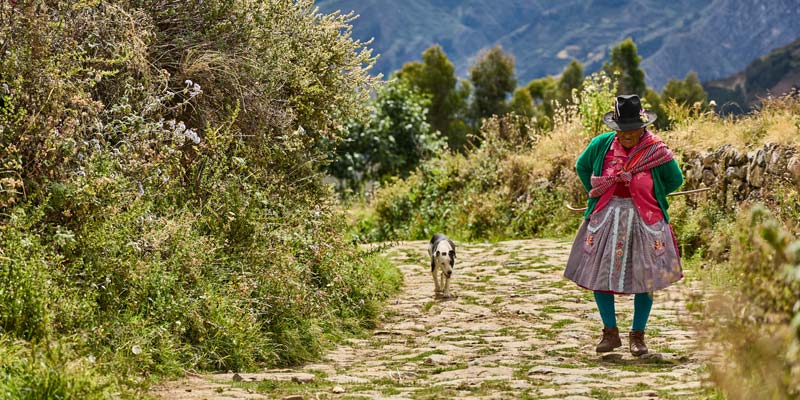
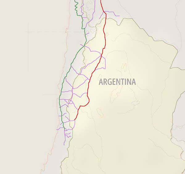
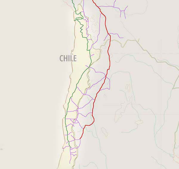
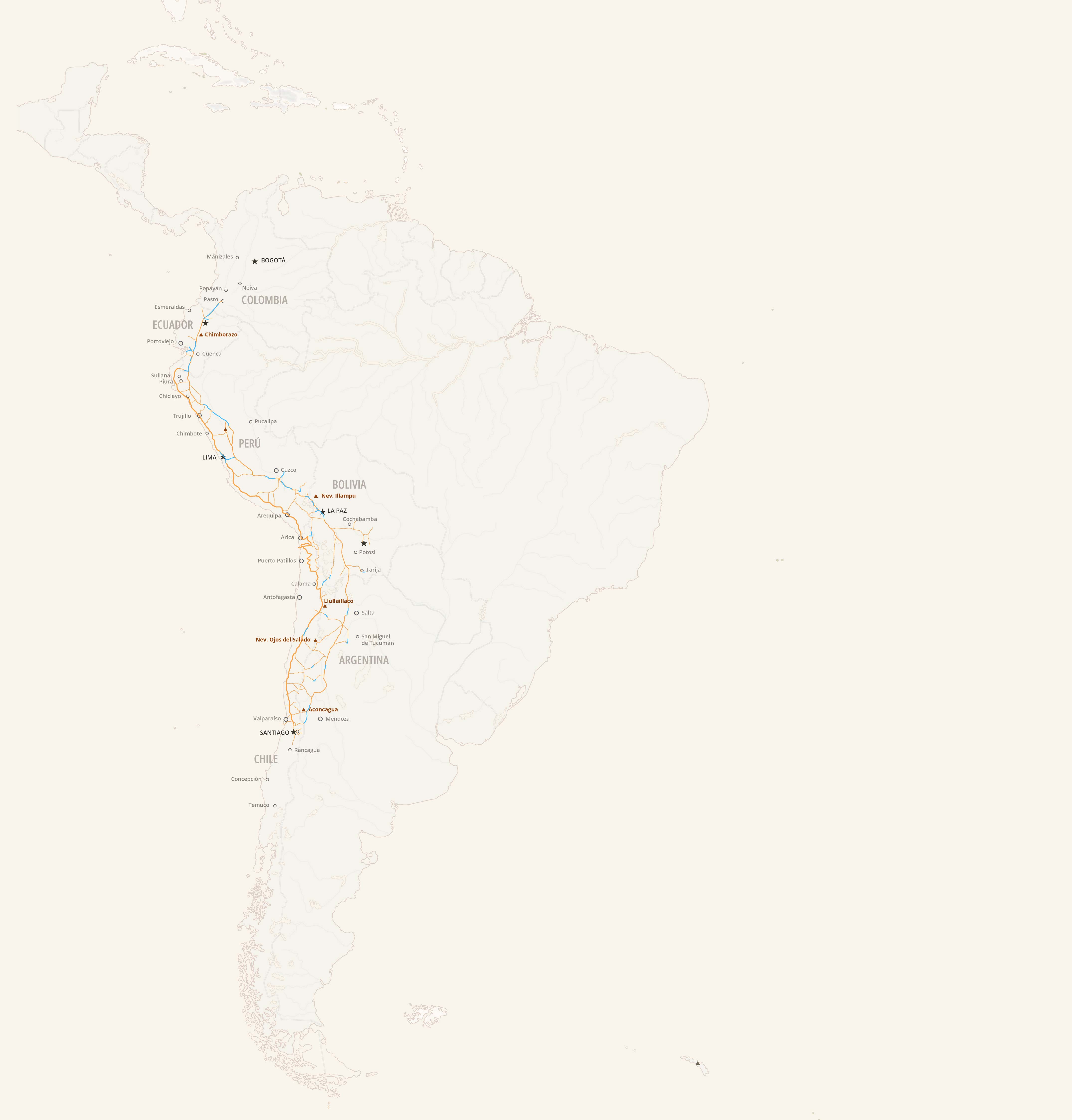
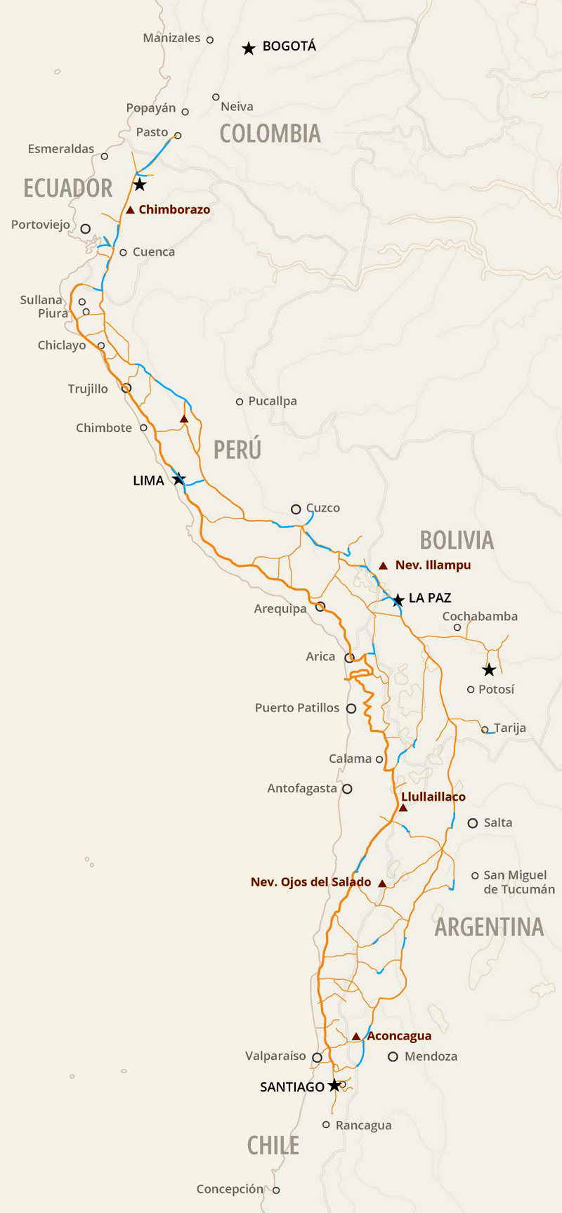
The impacts are also evident along the paths leading to the chakras—the agricultural plots that sustain daily life. Defying steep and rugged terrain, a vast network of trails once connected settlements, carried messages, and enabled trade across South America. The Andean Road System reached its fullest expression in the fifteenth century under the Inca Empire, which expanded and integrated preexisting routes to link its territories. From southern Colombia to northwestern Argentina, roughly 18,600 miles of trails gave the landscape not only monumental scale, but also mobility and communication.
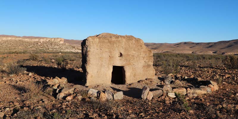
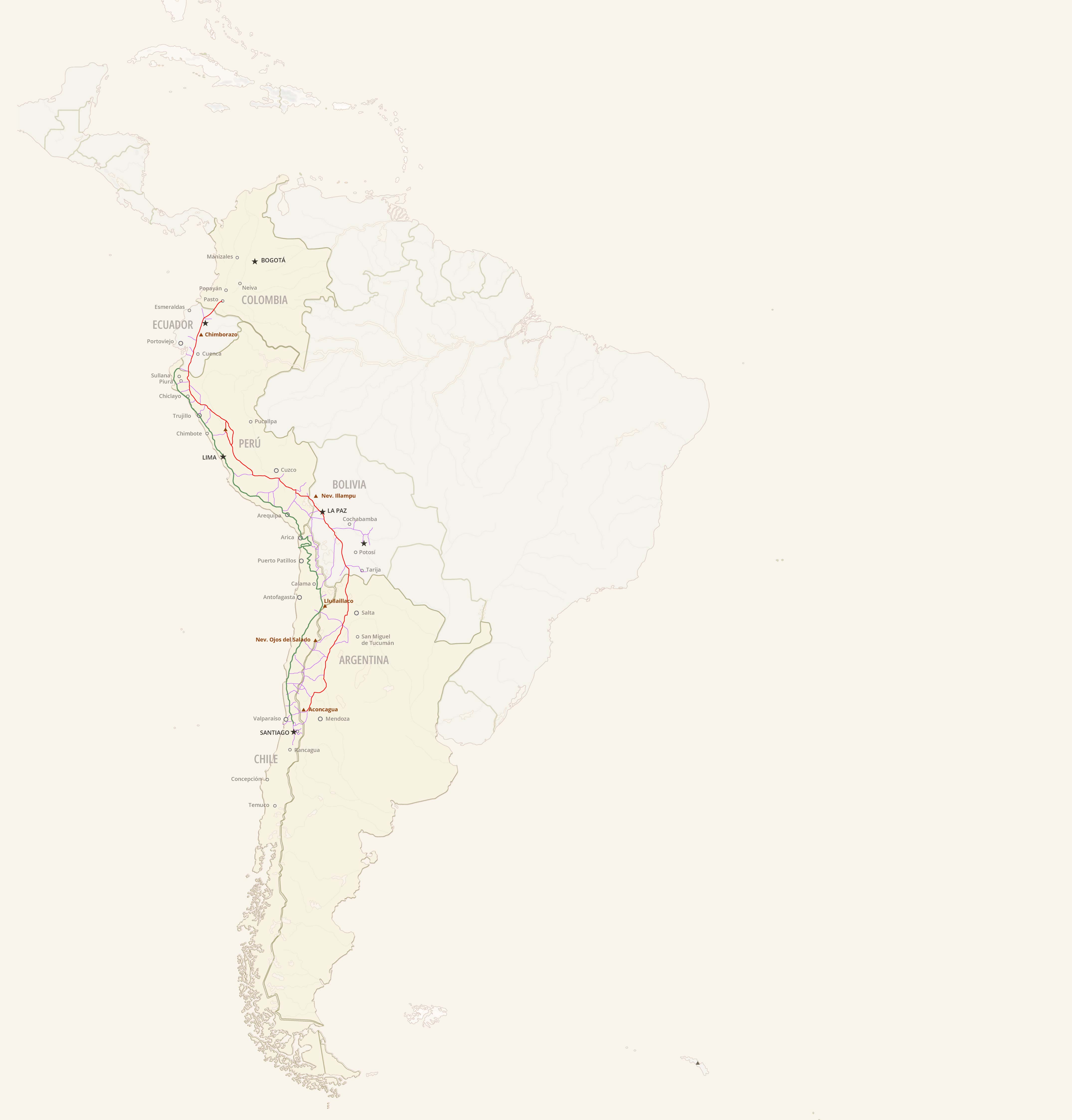
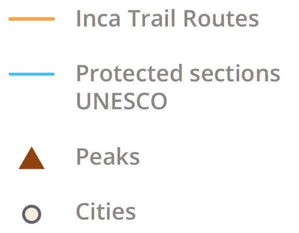
Five centuries later, the remnants of the Inca Trail remain visible in varying states of preservation across the continent. Now recognized as cultural heritage, it has not escaped political bureaucracy. In 2014, after more than a decade of negotiations, it was declared a UNESCO World Heritage Site, though the designation applies to only about 380 miles of selected segments.
Geographic constraints, limited accessibility, insufficient funding, and the challenge of reaching agreements among six countries have complicated its management. For this investigation by Historias Sin Fronteras, a request was made to interview a UNESCO spokesperson, but no response was received by the time of publication.
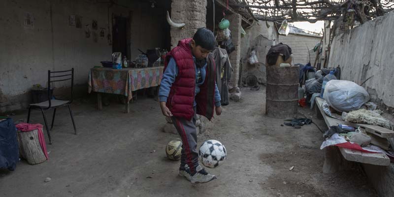
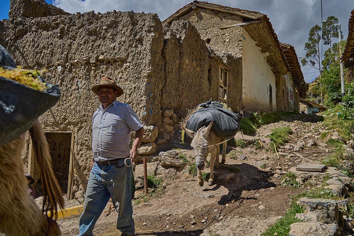
These challenges are compounded by the material conditions of those who still use, or have stopped using, the trails. In addition to living in territories threatened by mining concessions, rural communities experience poverty rates well above national averages. In Chile, multidimensional poverty in urban areas was around 15.5% in 2022, while in rural areas it reached 28%, with northern Andean regions among the most affected. In Argentina, the proportion of households with unmet basic needs is twice as high in the countryside as in cities.
Sections protected by UNESCO
Faced with urgent challenges, development strategies do not always align with heritage conservation. While debates continue over how to preserve the integrity of the Inca Trail, climate disruptions continue to batter both the trails and the communities: floods, landslides, and overflows reshape landscapes and collective memory.
In the latest biannual reports that each state must submit to UNESCO regarding heritage management, climate appears among the principal threats. Chile has reported damage to archaeological sites caused by heavy rains; Ecuador, fires; Peru, landslides burying sections of the trail.
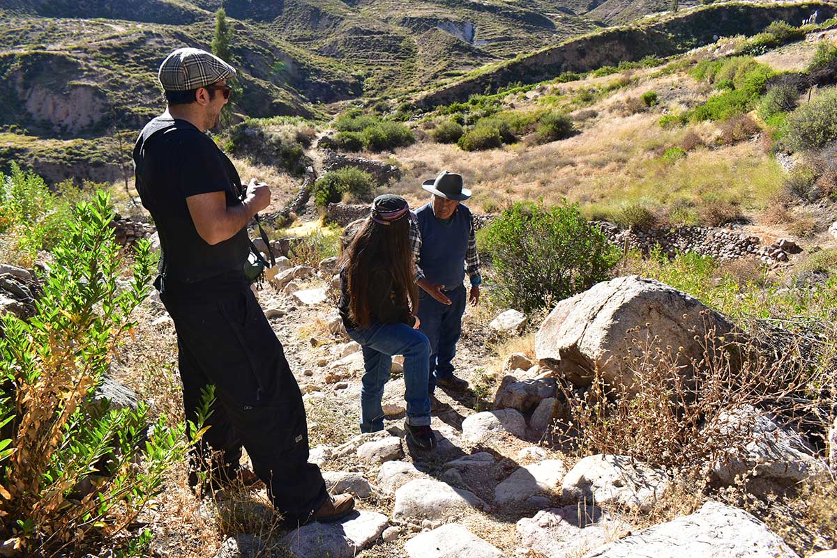
Four journalists from four Andean countries traveled through remnants of the Inca Trail to meet its inhabitants and to listen to how they confront the challenges imposed by the climate crisis. They are heirs to a historical, cultural and biological route that, although fragmented, has endured through time. In this report, we cross contemporary borders to enter the lived experiences that pulse along this ancient road. These voices remind us that the climate emergency also threatens the preservation of our collective memory.
What is unfolding in the Andes—one of the most vulnerable regions of the Anthropocene—offers a preview of transformations that will soon reach other parts of the world. As a corridor binding distant geographies, the Inca Trail may serve as a thread linking the past to our climatic future. With every stretch that disappears so, too, do traces of a relationship between people and landscape, traces that could still offer essential insights for the struggles of our time.